|
June 27/03
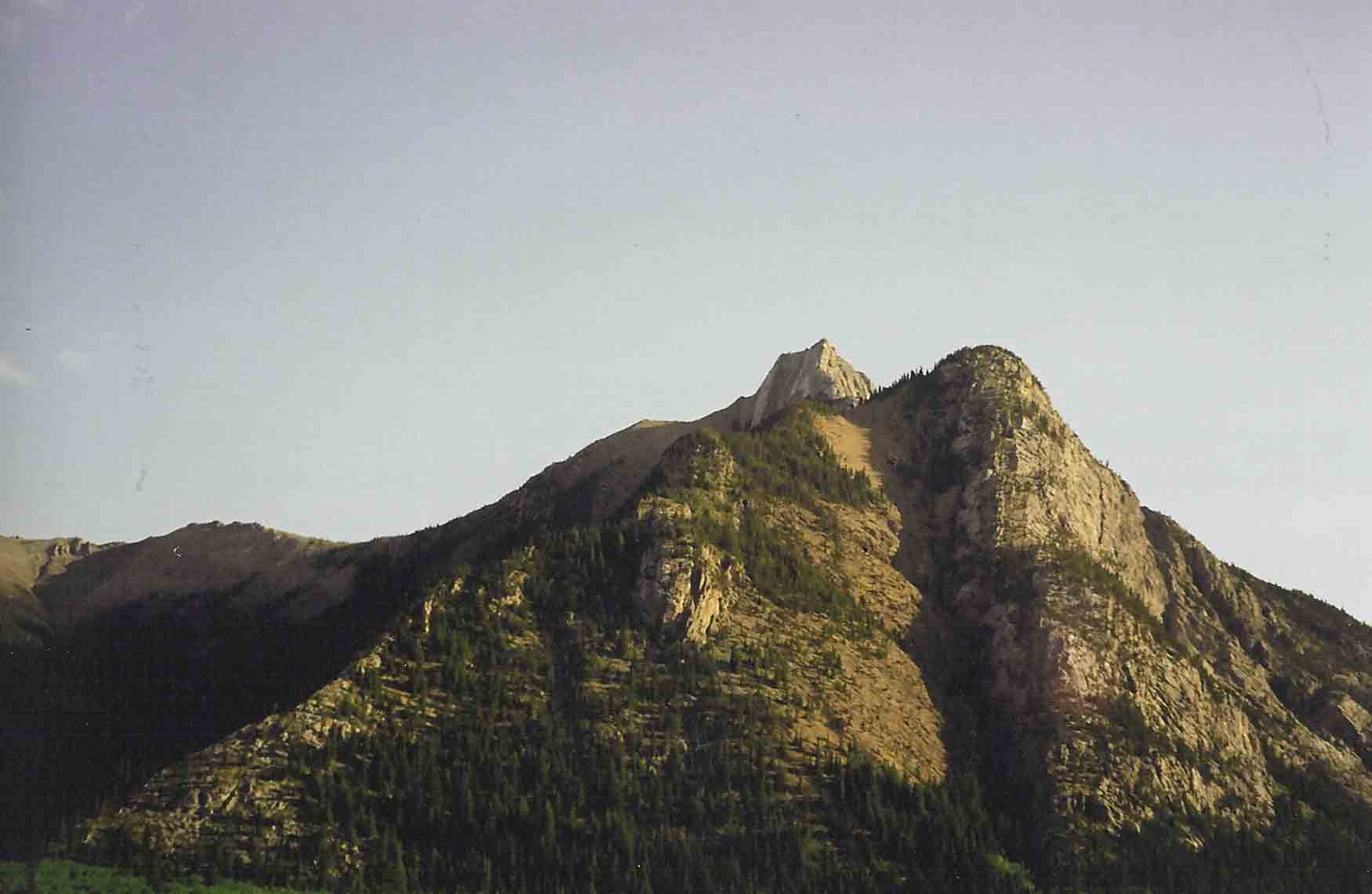
Mary Barclay is the unofficial name for the mountain north of Mt. Lorette. Driving north on highway 40, there
is an orange swath of scree acrosse the the mountain that sticks out like a sore thumb. Driving by it many times, we
always wondered if it were scramble-able. From where we parked (Wasootch bridge) the summit ridge looks quite daunting.
However, to see the true angle of the ridge, go into the Baldy pass parking lot and look up. It's actually quite
low angled.
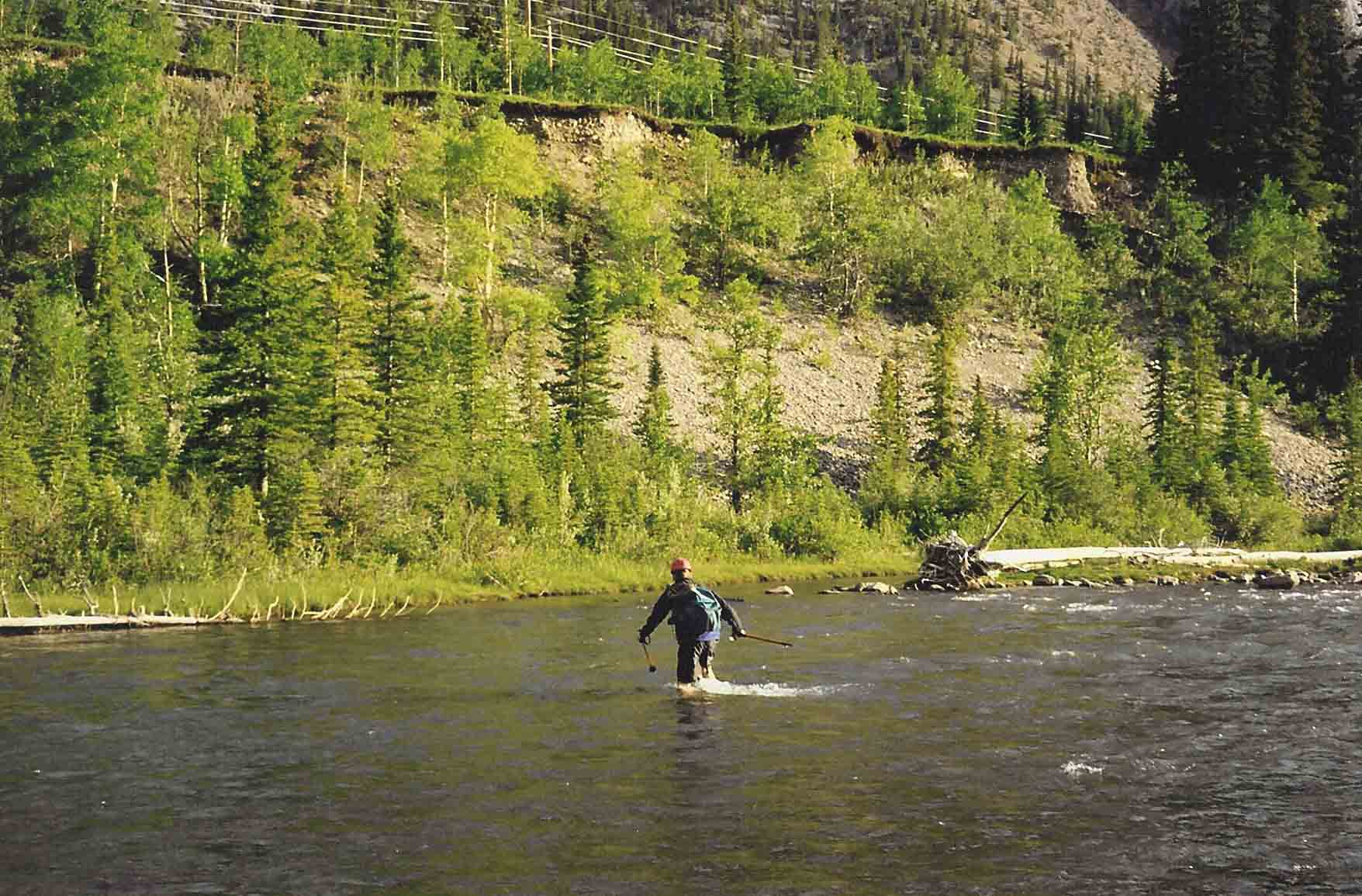
We waded the Kananaskis river to shorten the approach, however it can be approached from either Ribbon creek or Barrier
Lake.
|
| Go Pete, Go! Wading the Kananaskis River. |
|
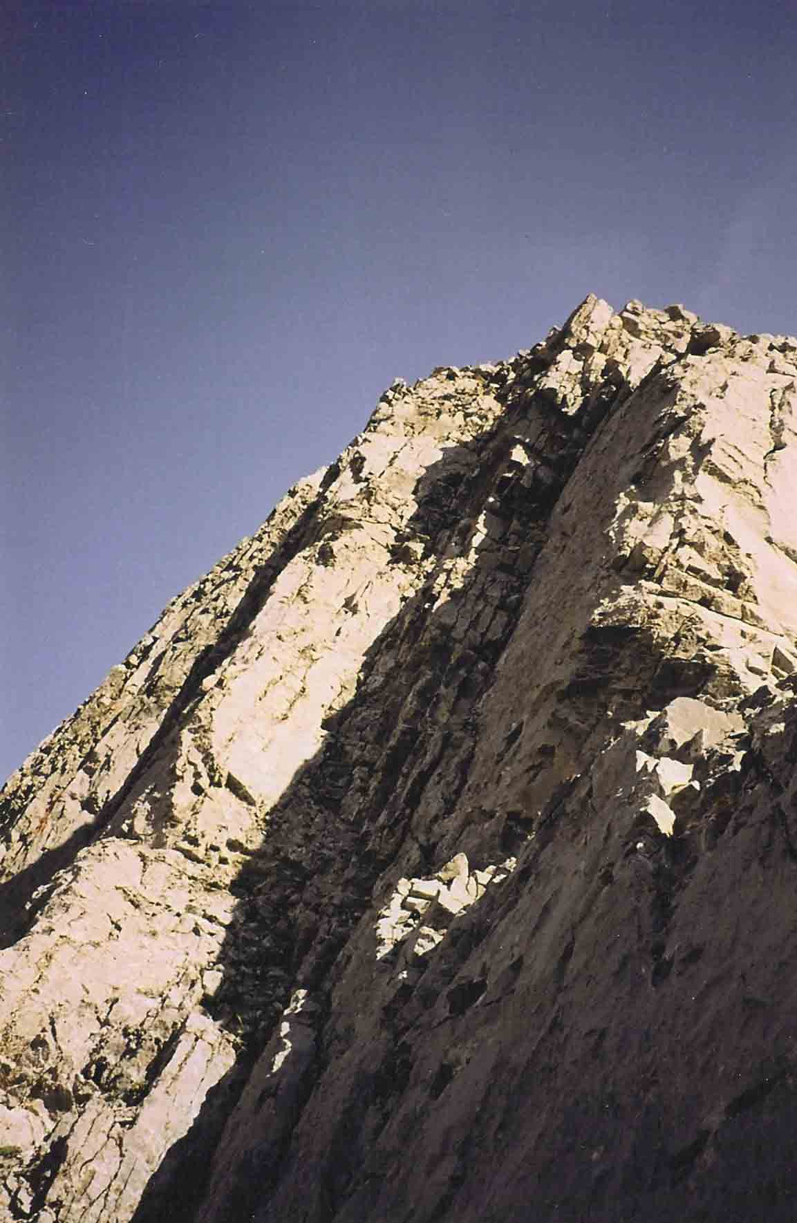
| The crux |
This is the crux. It's maybe 15feet high, and difficult scrambling, I guess. It's not too bad. After
that there's a short little tight rope on the ridge, though it can be bypassed by dropping down a dozen feet on the left to
a small ledge then scramble up again to the crest.
|
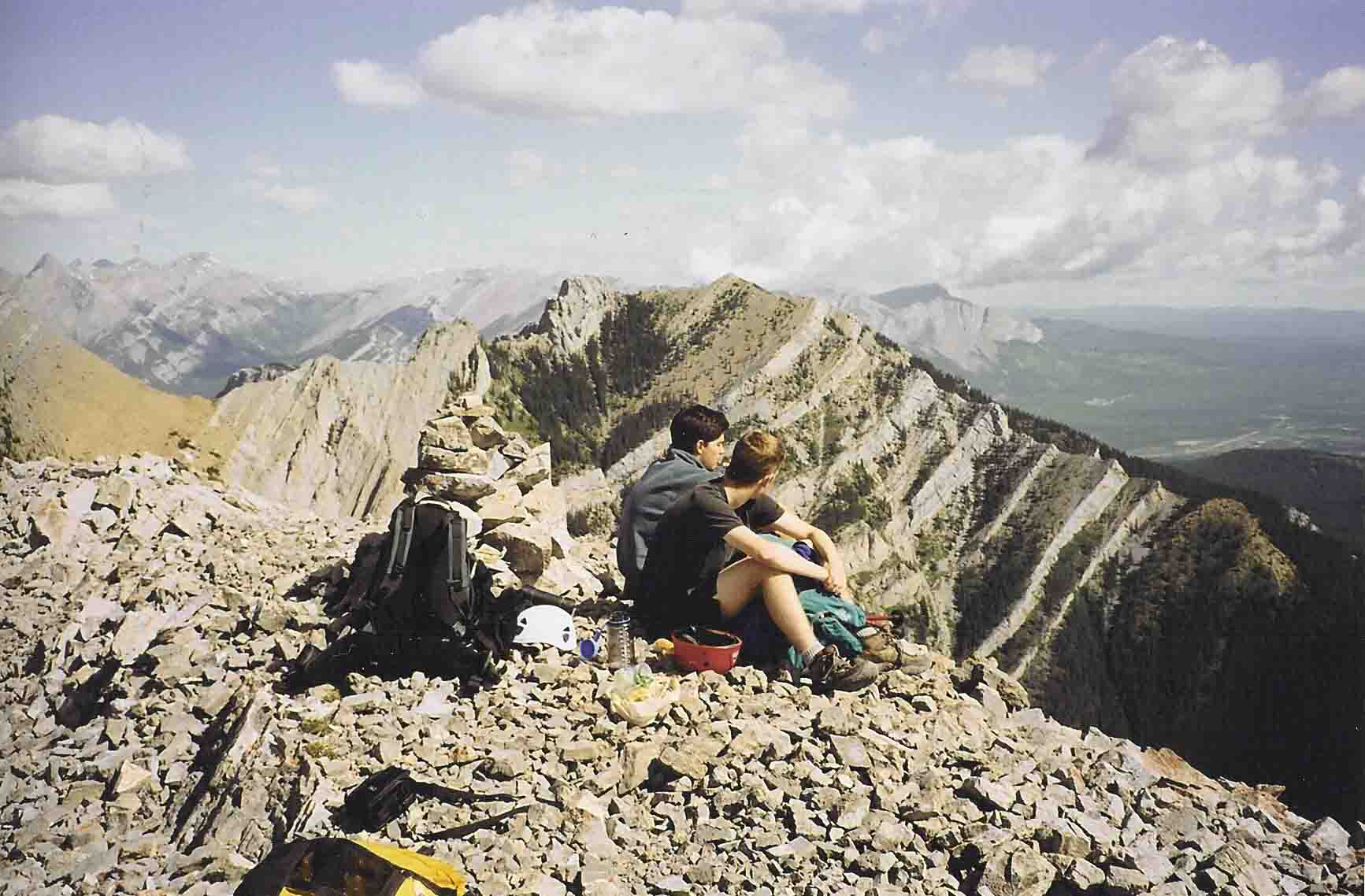
| tadaa! |
In the register there had been several ascent via the north ridge. Why I don't know, there looks to be a whole
crap load more bushwhacking. On our route, there's hardly any, and where it is, it's light.
RT: 5hrs
|