|
30/06/04
This is the high point along the ridge SE of Lawson. I lost the roll of film with the other half of the pictures
somewhere along the way. I though it might have come out when we got down to the road, and when I was searching for
it the next time I was along there, I damned near ran into a black bear and cub. The mother was content to watch
me lolly gag, but ushered her cub across the road away from traffic quickly.
Cut and Paste from RM webBoard:
Sometime last year, Pete thought that traversing the entire Lawson-Inflexible-Kent ridge would be
a good idea. Doing it in one day was completely out of the question, so we planned to start off at Kent Creek, head up along
the ridge to Inflexible and camp at the head of the valley, then continue up and down the length of Kent Ridge the following
day.
Vito bailed out yesterday morning when we went to pick him up due to back pain, so it was down to Matt, Pete and myself.
We
parked where a road comes out of the Kent Creek valley. Followed the road up to a water diversion of the creek and struck
up the base of the ridge. I was more than shocked to find an amazingly well defined trail leading most of the way to tree
line, sometimes losing itself, but it's easily found again. There were a couple of minor highpoints (and dips!) along the
way to GR290234. From a bit of a shoulder there's almost kilometer of ridge that needs to be scrambled to the highpoint. With
a 'scrambling' backpack staying on the ridge most of the way would be feasible, but with heavy, large packs, we opted to traverse
much of the distance below the ridge, then scramble up the main block towards the summit. I started to feel ill at the start
of the scrambling... heavy packs only frustrating things more. The rock is loose, covered in black lichen (slippery when damp)
and smelled like a cheap perfume. When we finally made the 290234 highpoint (6hrs from car) I was in no mood/shape to continue
over to Lawson. The difficulty of scrambling looked like it would ease off towards the col with Lawson.
With darker clouds
gathering to the west, and not feeling well, I just wanted to get down and go home, the rest of the traverse be damned. From
the summit it looked feasible to descend the bowl directly down to the valley and Highway 40. We descended the summit block
(crappy rock, of course), slid down some snow to a narrowing of the bowl, descended steep rocky/mossy/grassy (very awkward
and slow) terrain to more snow and down to another steep looking section. -"shit... we're cliffed out fellas." Up and over
the spur and into the bowl to the the SE of our original. Down a scree gully to.... another cliff - yay! At this point, I
started having visions of having to grind back up and over into the Kent valley to bivy. Persistence paid off however; I dropped
the heavy bag and scouted higher up on the rib... hmmm not looking promising, but wait is that a gully? Yes! There were three
short gullies running parallel to each other, the first two looking too difficult with heavy bags, but the last (highest)
gully was juuuust right. Gathered the troops and my bag and headed down into delightfully easier terrain. About halfway down
the avalanche slope, the heavens opened up with one of the most violent lightning storms I've experienced in sometime, along
with one of the heaviest rains that lasted for 2hrs. Thrashed through some very slippery bush to the river, plowed through
it without even hesitating (only knee deep). We popped up to the highway thoroughly soaked and chilled after 10.5 hours from
the car. After a couple dozen cars passing us by, I finally managed to thumb one back to the van.
We still plan on traversing
the ridges, but more in the fashion of Rick Collier: start up Inflexible and down to the Lower Lake in one day with light
packs. Same thing for Kent Ridge, likely a season later.
*I can't recommend descending the way we went, due to difficulty;
it's probably faster just to head back down the ridge.
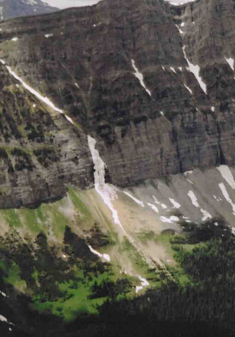
--Forgot to add that we noticed a large frozen fall/smear (yes,
still hanging!) on a cliff around 266240. I doubt it's ever been climbed (even noticed before?) due to obvious approach difficulties
and avalanche hazard. Frank
|
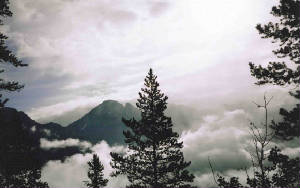
| morning mist |
|
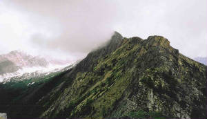
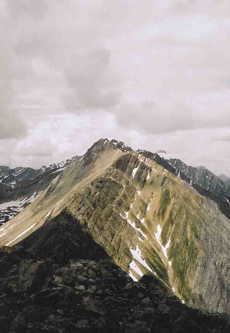
| looking toward the highpoint |
|
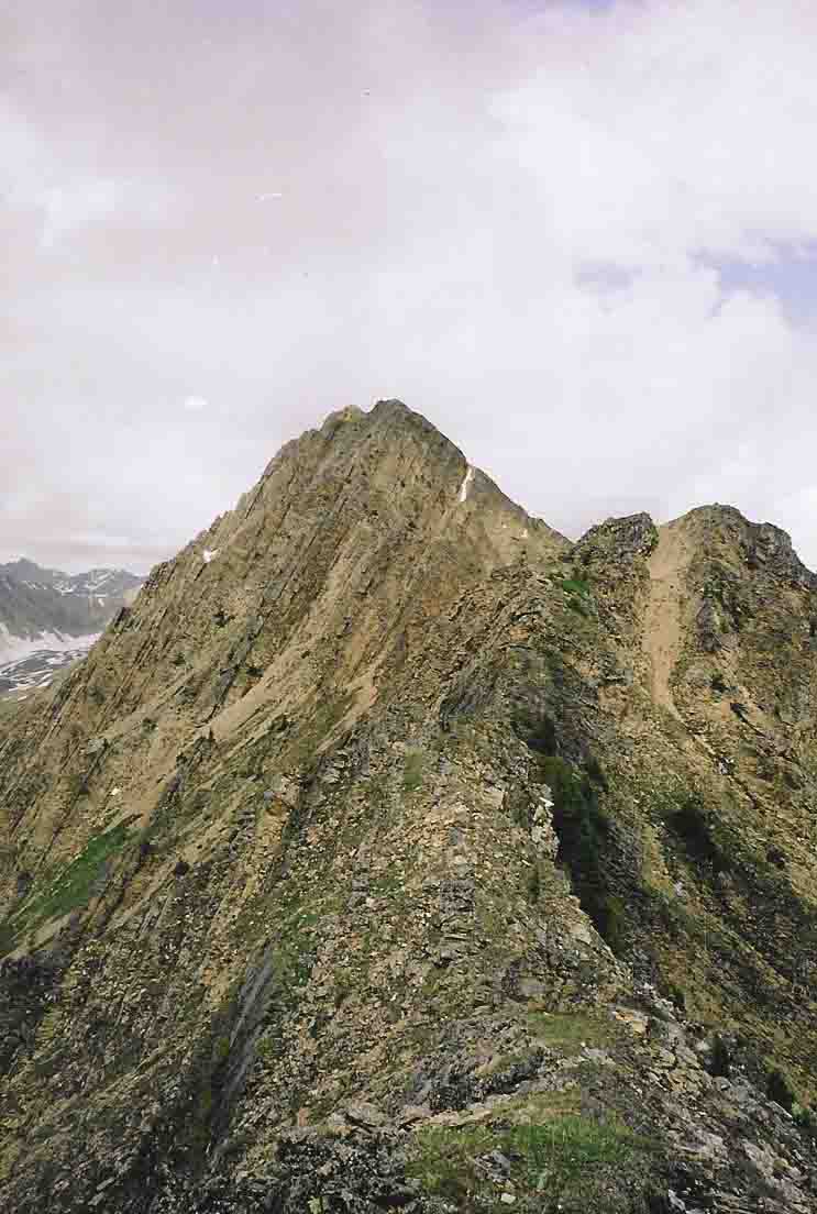
| The start of the scrambling |
|
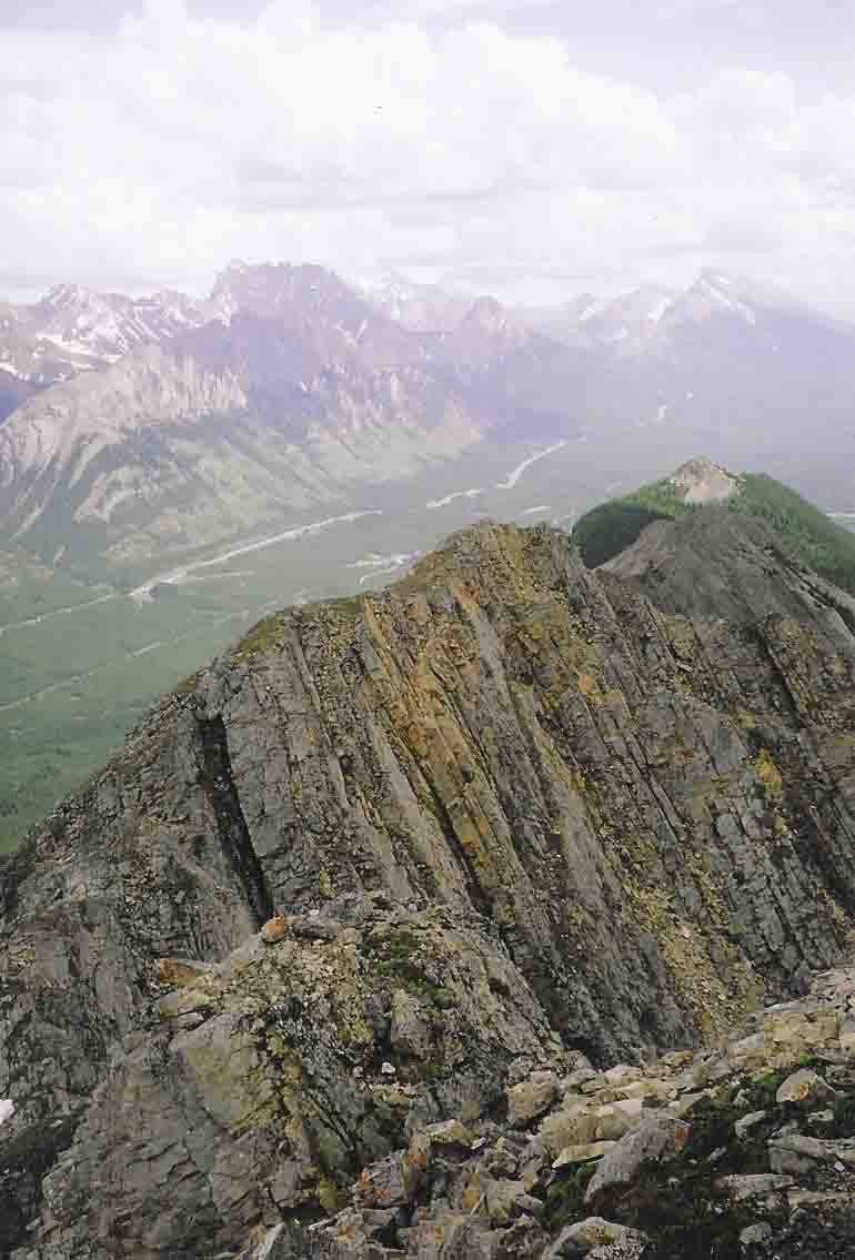
| Looking back along the nasty section |
|
| Looking towards Lawson. Scrambling eases once you reach the col |
|
| A frozen waterfall in the summer!? |
|
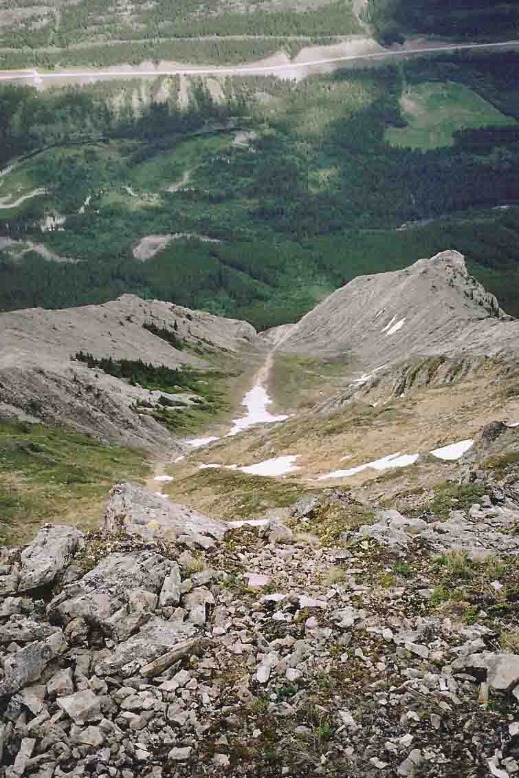
| Looking down most of our descent route - much steeper than it looks! |
Once we got down past the snow to the edge of the narrowing, it was evident further descent in this gully was impossible.
So we went up and over the rib on (down) climber's right and into the next gully. A little more searching ensued to
get by more cliffs. After being soaked by amazing rains, we stormed through the river and thrashed to the big green
space and up to the road.
|